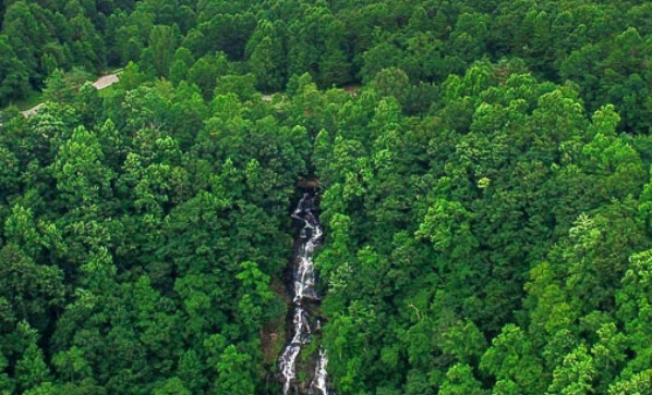
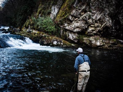
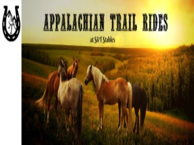
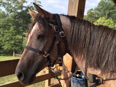
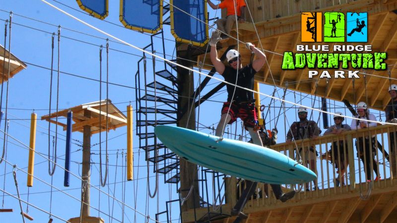
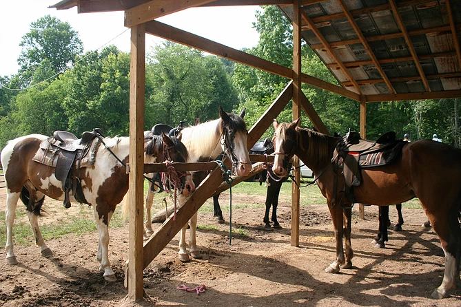
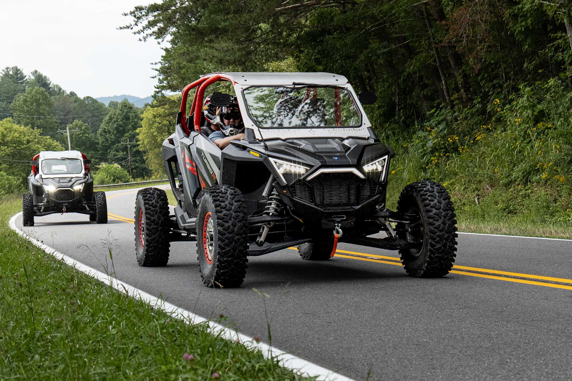
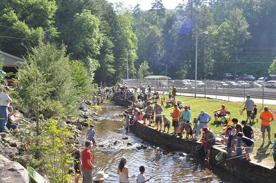
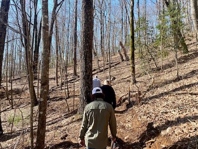
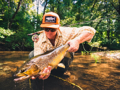
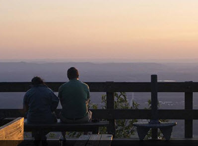
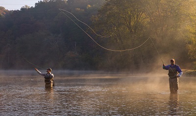
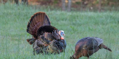
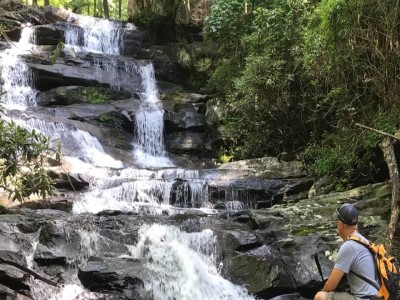
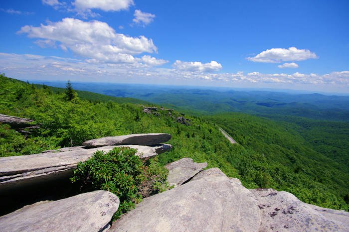
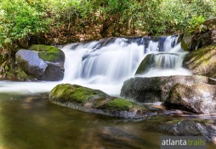
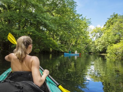
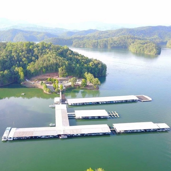
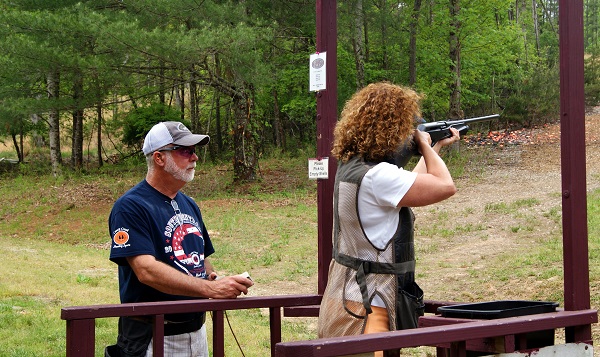
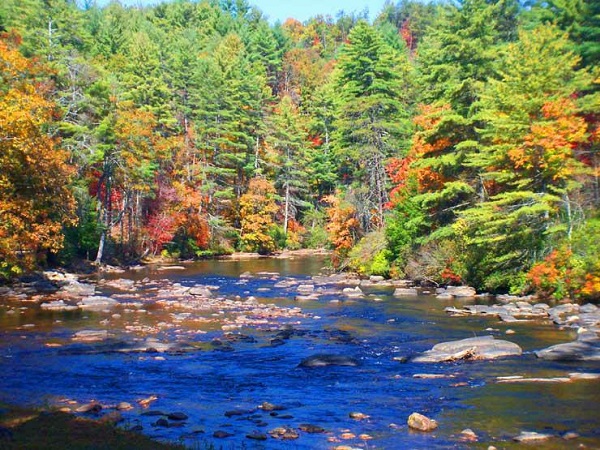
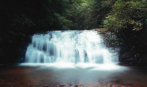
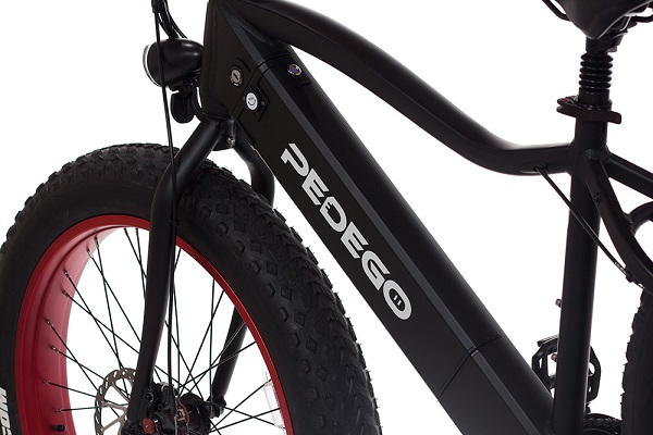
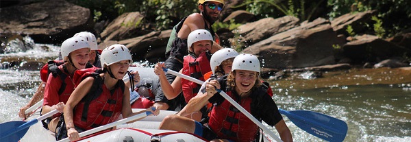
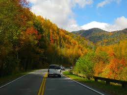
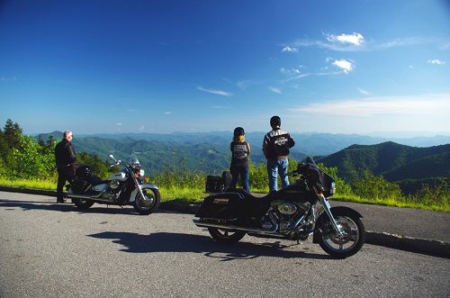
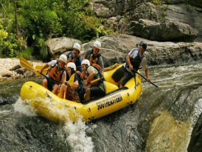
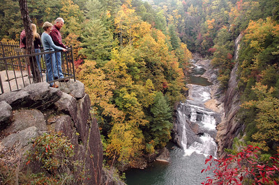
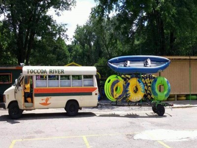
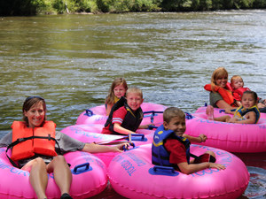
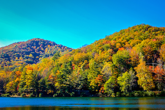
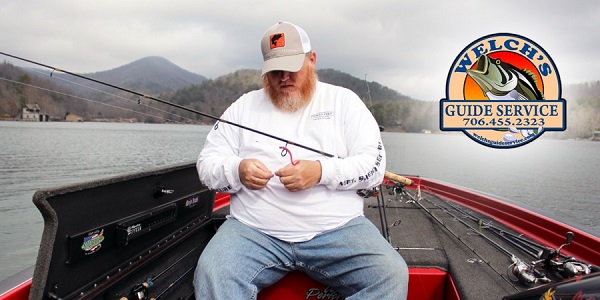
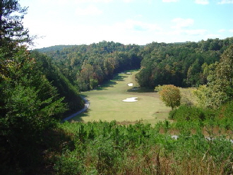
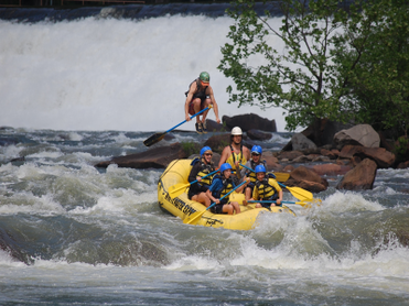
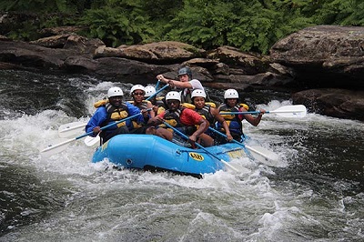
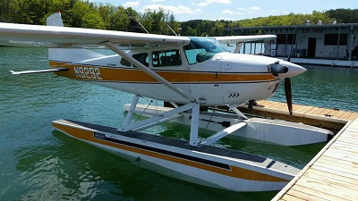
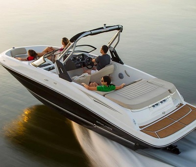
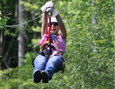
Outdoors & Adventure
Quick Nav
Annual Festivals
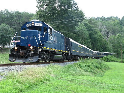
Area Attractions
Arts & Entertainment
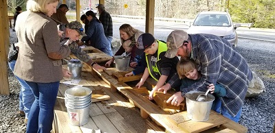
Family Fun
Local Dining
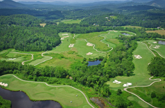
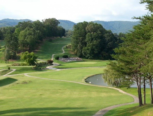
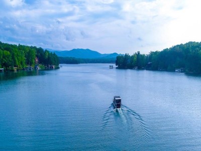
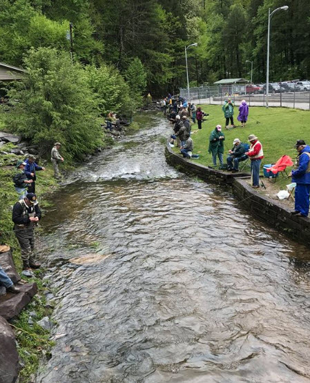
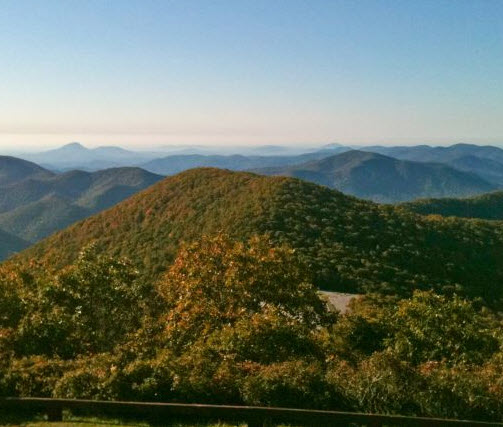
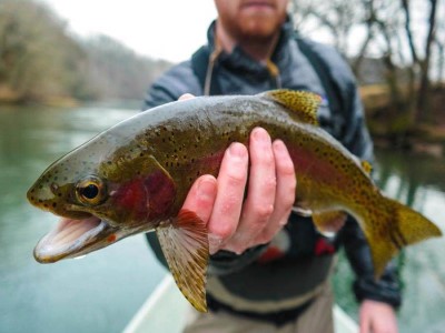
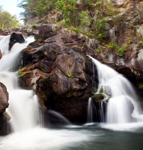
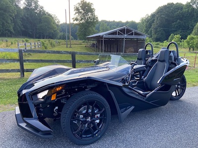
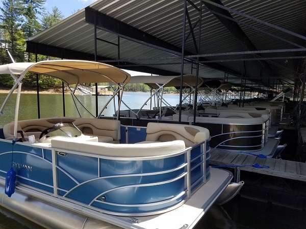
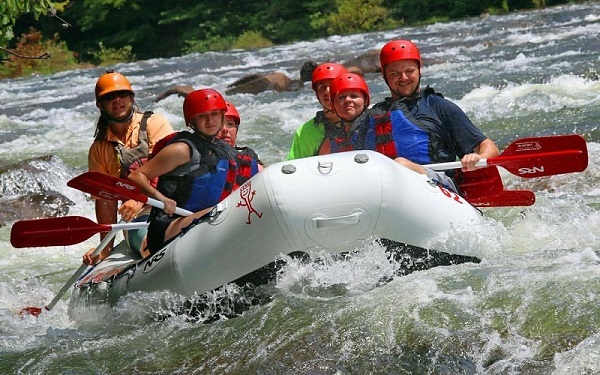
Outdoors & Adventure
Shopping
Spas & Wellness
Wineries & Breweries


Quick Links
Copyright © 2024 Escape To Blue Ridge. All Rights Reserved.
Web Design by InterCoastal Net Designs