Horseback Riding Experiences


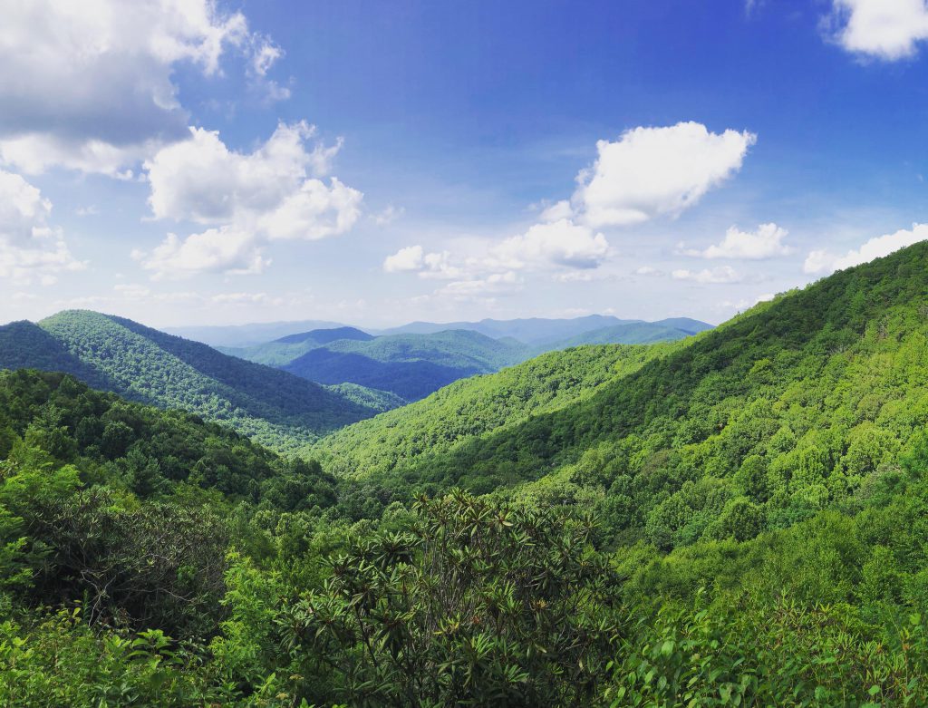
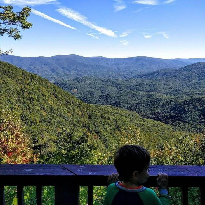
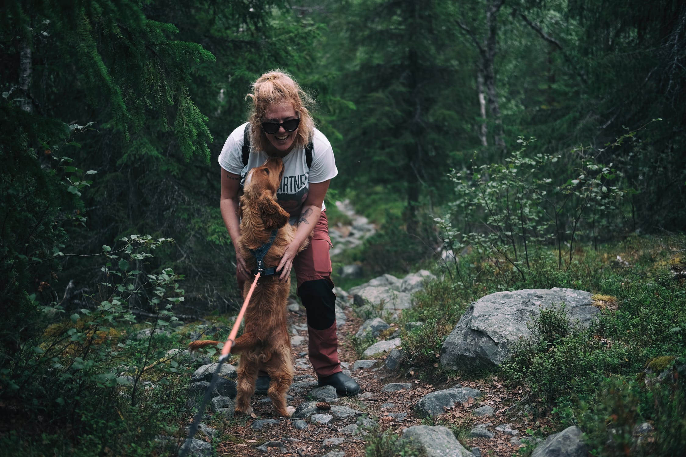
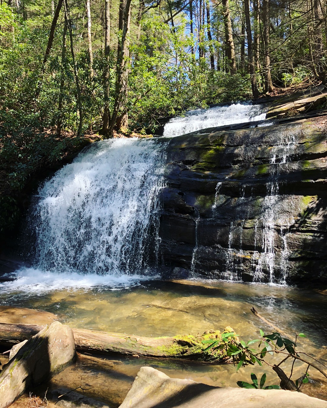
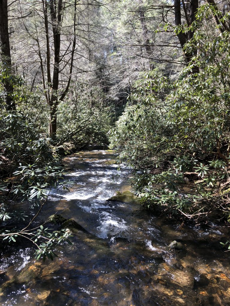
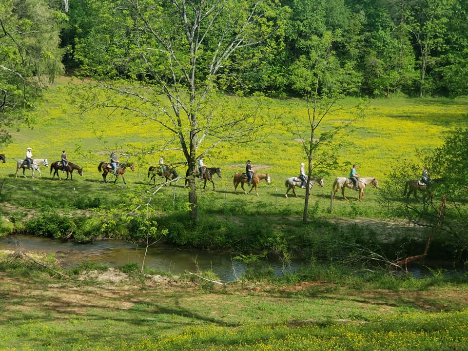
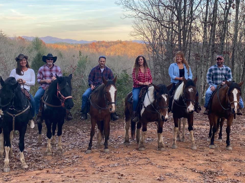
Saddle up! It’s time to hop on a horse and take in the beautiful countryside and forests of Blue Ridge. Nothing is more relaxing than listening to the sounds of nature, taking in the sights, the relaxing gate of the horse beneath you, and creating new memories with the ones you love. We’re incredibly lucky to have so many wonderful stables nearby that offer trail rides for the most beginner of riders all the way up to the most experienced. Escape to Blue Ridge on horseback!

Cowgirl Up Stables 

Photo Courtesy of Cowgirl Up Stables

Nestled in the beautiful Blue Ridge Mountains right here in Blue Ridge is Cowgirl Up Stables. They are an all-female-owned and operated stable, which is where their clever name comes from. Cowgirl Up Stables specializes in rides for beginners, so if you’re just starting out this is the place for you. You’ll go on trail rides through the beautiful Blue Ridge countryside led by their experienced and professional trail guides. Not only are the staff there to help you, but the horses also know how to do their jobs well and are great for riders of any experience level. Choose from a variety of ride options including; The Novice Ride, The Intermediate Ride, The Sunset Ride, The Picnic Ride, The Proposal/Romantic Ride, and the Valley River Ride. No matter what ride you choose it’s sure to be an unforgettable experience! 

Blue Ridge Mountain Trail Rides at Hells Hollow

Photo Courtesy of Blue Ridge Mountain Trail Rides at Hells Hollow

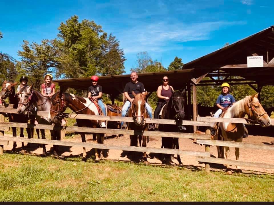
If you’re looking for a safe and fun outdoor family adventure right here in Blue Ridge then Blue Ridge Mountain Trail Rides at Hells Hollow is your place! With over 25 years of experience, the staff knows exactly what they’re doing and are happy to help riders from beginners all the way to experts. Enjoy trail rides with stunning views of the Cohutta Mountains! Or take advantage of the pony rides, sunset rides, riding lessons, or a custom ride/event. They have every kind of horseback riding experience you can imagine! After the ride, plan to have a picnic by the woodland stream or visit with the baby goats. And in the spring you can even gem mine and fish! Blue Ridge Mountain Trail Rides has everything you need for a fun-filled day outside! 

Cohutta Stables

Photo Courtesy of Cohutta Stables

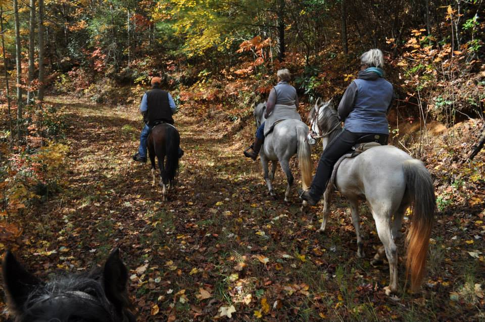
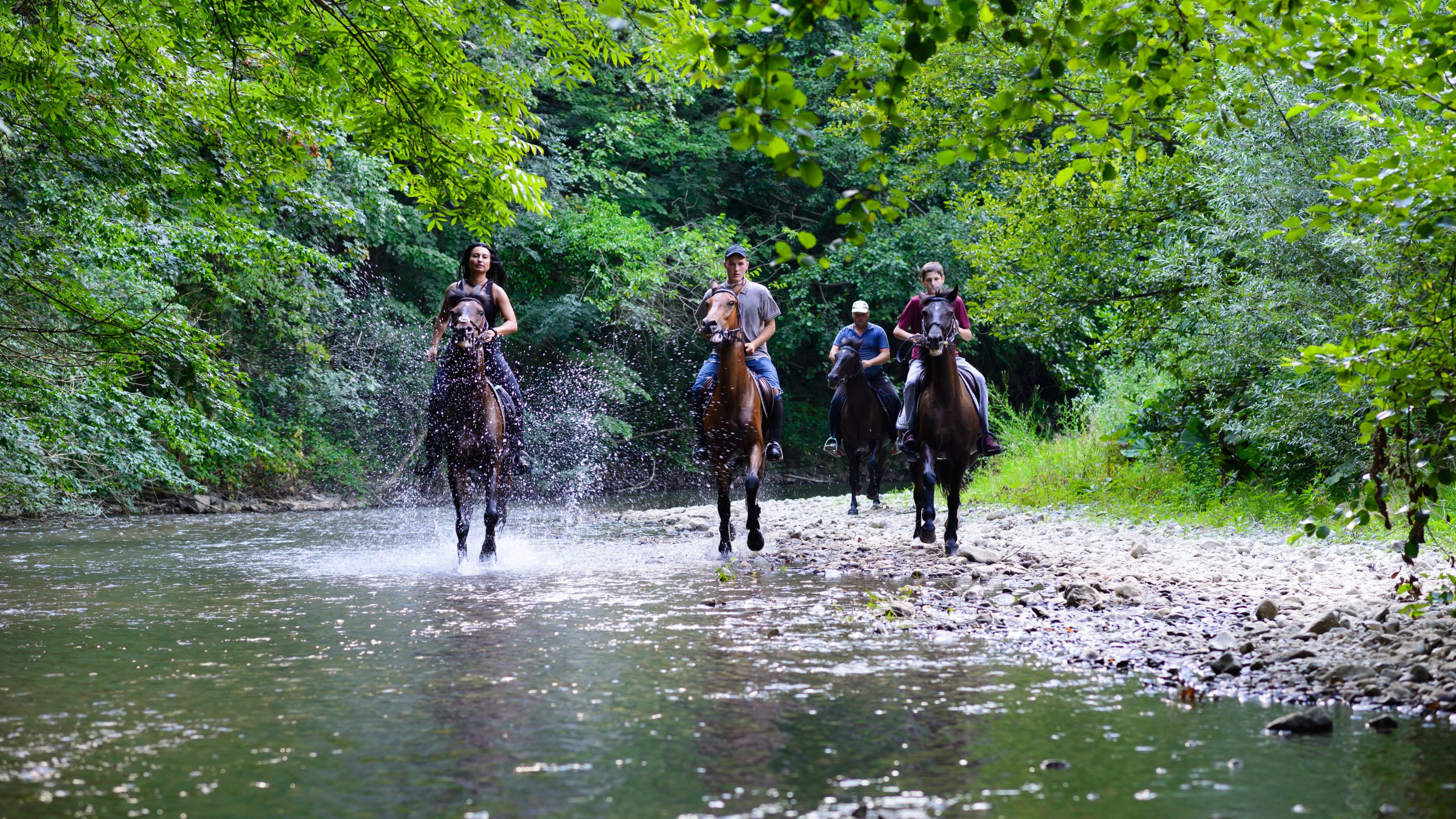
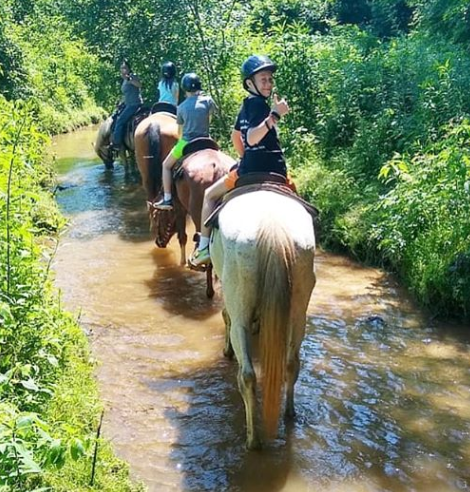
Cohutta Stables is a family owned and operated stable here in Blue Ridge. With over 40 years of experience and specializing in work with gaited horse breeds, their services include everything from training, boarding, sales, riding lessons and trail rides. The trail rides range from half day to full day through the Cohutta Wildlife Management Area, and are meant for more experienced riders. They offer personalized and private trail rides that will take you and your group along 13 miles of beautiful trails in the Chattahoochee National Forest. You’ll cross rivers and creeks, climb up mountains, and explore nature all around you. At Cohutta Stables their goal is to not only provide riders with a great experience but to also help riders find the horse to meet their individual needs, and to facilitate a memorable horseback riding experience. If you’re an experienced rider looking for an adventure then look no further! 

Appalachian Trail Rides

Photo Courtesy of Appalachian Trail Rides at S&T Stables

Venture a little ways outside of Blue Ridge to Mineral Bluff for Appalachian Trail Rides at S&T Stables. With more than 30 years of experience their trail guides will help to make your ride a memorable one! With 250 acres of land to explore as well as lakes, creeks, and stunning mountain views; you’ll have plenty of sights to take in along your ride. From trail rides, dinner rides, pony rides, and even proposal rides; you can ride any day or for any special occasion.The staff and horses at Appalachian Trail Rides are happy to help you have a great and memorable time! 

Blanche Manor Horseback Riding

Photo Courtesy of Blanche Manor Horseback Riding

Venture on over to Copperhill, TN (just 15 minutes away from Blue Ridge), to Blanche Manor Horseback Riding. Perfect for riders of all experience levels, there will be something for everyone in your group. The experienced and professional staff help to ensure customer satisfaction and safety. Explore beautiful forest trails and admire the Blue Ridge Mountains as you ride. Enjoy any of Blanche Manor’s wonderful rides like private rides, trail rides, sunset rides, proposal rides, and pony rides. Don’t want the adventure to stop there? You can even combine your horseback riding experience with an Ocoee Rafting trip or ziplining at Canopy Tours. There’s so much fun to be had at Blanche Manor that you won’t want your great outdoor adventure to ever end!

5 Scenic North Georgia Overlooks


If you want to take in the sights of North Georgia and explore some awesome places along the way, then these 5 scenic drives are for you! You’ll have, literally, a front row seat of the most stunning long range mountain views in the state and you’ll want to make some fun pitstops along the way! Roll the windows down, enjoy the weather, and cruise through the Blue Ridge Mountains. *Featured Photo courtesy of Scott Michael Anna

Richard Russell Scenic Highway

Photo Courtesy of Metro-On-The-Move

A scenic journey on Highway 348 should be at the top of your list for a mountain drive. Just about 30 minutes East of Blue Ridge you can access the Richard Russell Scenic Highway via the town of Blairsville. Winding and curving as mountain roads should, you’ll feel the climb in altitude as you make your way down the 23 mile stretch of a National Scenic Byway. Once you’ve climbed to peak altitude, there is a perfect spot at HogPen Gap to stop and take in the glorious mountain views! Snap a picture and hop back in the car for the next overlook as you cross into Helen/White County. You’ll encounter a trailhead of the Appalachian Trail and maybe see some hikers passing through. In the winter time, the rock walls turn to ice and you can catch ice climber’s practicing their sport! As you start descending the mountain you’ll find access trail to Dukes Creek Falls and Raven Cliff Falls. Highway 348 dead-ends into Highway 75 where you can hang a left and go adventure in the quaint town of Helen, Ga!

129 South

Photo Courtesy of Lindy Callahan

Highway 129 South will take you right through Chattahoochee National Forest, which takes up a large part of North Georgia, a whopping 749,689 acres! You’ll also climb through the North Georgia Mountains on your way, taking in the sights as you go. But before you start the climb, we highly recommend you stop at Sunrise Grocery to load up on boiled peanuts and provisions to enjoy as you wind through the Blue Ridge mountains. Along the way you will pass the access road for Helton Creek Falls, Lake Winfield Scott, and the stunning Vogel State Park. Eventually, you’ll make your way to the top of Neels Gap and the base of Blood Mountain. Stretch your legs, take some pictures at the beautiful overlook or take a hike to the top of Blood Mountain if you’re up for it. Either way, you’ll be right on the Appalachian Trail so if you’re not up for an intense hike, you can still walk the width of the Appalachian Trail here! After you do, stop into Mountain Crossing, an outdoor sports store, for a keepsake or souvenir. Here you can also learn about thru-hiking, section hiking, and pick up any outdoor equipment or gear you may need!

Highway 60

Photo Courtesy of Explore Georgia

Take a drive through the countryside of Suches on Highway 60. This drive will take you through the scenic Chattahoochee National Forest, so if wilderness is your passion this drive is the one for you! On your drive, you’ll pass access points to some of our favorite spots like Serenberry Vineyards and the Swinging Bridge over the Toccoa River. As your drive continues, you will get to some of the most stunning and untouched wilderness you’ve ever seen! The Suches area is known as “The Valley Above the Clouds” and you’ll definitely feel like since this ride takes you 3,000 feet above sea level! This ride will loop around until you reach Stonepile Gap, where you can continue to Dahlonega, hang a right to head towards Blairsville or ring around the Stone Pile and head back to Blue Ridge on Highway 60.

Highway 5/S.R. 2

Photo Courtesy of Nate Shivar

For a true mountain experience, we recommend taking a ride through the Cohutta Wilderness. Beginning right in the heart of Blue Ridge, take Highway 5 (by McDonald’s) and head north passing the famous Mercier Orchards on your left. We recommend stopping for fried pies, apple bread, or apple cider donuts to take on your trip. If you stay straight on Hwy 5, you’ll end up in the twin cities of McCaysville, GA and Copperhill, TN where you can stand on the state line and get a little shopping down at the Riverwalk Shops! But to get out in the deep mountains, you are going to hang a left on South Road 2. Fair warning – the road is no longer paved, but you will be surrounded by a hardwood forest on both sides of the road. You’ll travel on until you reach Watson Gap at 2,700 feet in altitude! Hang a right to head towards the Ocoee River or take a left on Forest Service road 64 to Lake Conasauga. Continue your way up climbing to 2,840 feet above sea level to Dyer Gap. As you continue your journey you will pass access points to Jacks River Falls, Three Forks Mountain, Cowpen Trail, and the Mountaintown Creek Overlook at an altitude of a whopping 3,484 feet!

Highway 180

Preacher’s Rock courtesy of Hike the South

Highway 180 is a truly beautiful drive from Helen to Suches. As you take in the beauty of the Chattahoochee National Forest, you can take a quick turn off onto Spur 180 and begin climbing the mountain up to the base of Brasstown Bald, the highest peak in Georgia. The views from the top are stunning and here you can see four states – Georgia, North Carolina, South Carolina, and Tennessee. On a clear day you can even see the Atlanta skyline which is about 90 miles as the crow flies. If you don’t take the spur, Highway 180 continues and takes a little jog on Hwy 129 before you pick it back up again to start climbing Woody Gap. Untouched and pristine, the winding road will take you on the backside of Vogel State Park and up to the top where you’ll find Lake Winfield Scott and the Woody Gap overlook. Here you can also access the Appalachian Trail and one of the most photo worthy spots on Preacher’s Rock.

How Did the Blue Ridge Mountains Form?


When we say the old Blue Ridge mountains, we mean it! As part of the Appalachian mountain range, the Blue Ridge mountains are the second oldest range in the whole world. Over 1 BILLION years ago, shifts in our Earth’s tectonic plates caused the Blue Ridge mountains to form in a system of peaks and valleys that span eight states!

Sometimes it’s a little confusing that you can see the Blue Ridge mountains in other states besides Georgia but these mountains are vast. There is a Northern section that includes Pennsylvania, Maryland, and Virginia. The Southern section includes West Virginia, Tennessee, North & South Carolina, and of course right here in Blue Ridge, Georgia! Our particular section of the range is known as the Appalachian Mountain Range and we are a part of the Chattahoochee-Oconee National Forest.

They Really are Blue!

View from “Adventure Us” cabin

Have you ever wondered why these mountains are called Blue Ridge? If you catch any section of the range at the right time of day, you’ll see that the mountains have a distinctive blue color. The forests that cover these rocky protrusions are predominately made up of spruce and fir trees and they emit isoprene into the atmosphere creating the blue hue!

The Blue Ridge Mountains can span across 60 miles in some locations. While the tallest mountain in this system is Mount Mitchell in North Carolina rising at 6,684 feet high, just 30 minutes from downtown Blue Ridge is the tallest peak in Georgia, Brasstown Bald rising at 4,784 feet above sea level! Here you can see 4 states!

Photo Courtesy of Brasstown Bald

Early Inhabitants

The Native Americans, and specifically the Cherokee, lived in the Blue Ridge area more than 12,000 years ago! The moderate climate and the character of the mountains themselves, made a perfect region for inhabitants to settle. They farmed and hunted in the valleys and mountains that they called “the Enchanted Land” until they were forced to leave on the Trail of Tears.

Two Features

Photo Courtesy of @ancole78

One popular trail system that follow the Blue Ridge mountains all the way through Virginia is the Appalachian Trail. Hikers along the trail get the advantage of seeing the stunning untouched beauty of the mountains.

At the extreme Southern tip of the Appalachian Trail and the entire Blue Ridge mountain system is the spectacular Amicalola Falls, the tallest waterfall east of the Mississippi!

Dog Friendly Hikes


Hiking with your dog can be fun for both you and your furry friend. Not only does it provide a great source of exercise for you and your dog, but it’s also one of the best ways to have amazing adventures while creating memories that will last a lifetime. It’s a win-win for everyone!

While we’d all love to be able to take our dogs with us on every trail we venture down, we can’t always do that. Sometimes the trails are too steep or the terrain is too rough for our four-legged friends to maneuver, or sometimes they simply aren’t allowed in that area because of other critters that may be dangerous for our dogs to encounter.

To make things a little easier for you and your furry companion, here’s a list of a few trails around the Blue Ridge area that are sure to bring tons of fun for both you and your favorite adventure buddy!

Duncan Ridge Trail

Easily accessible by both the Appalachian Trail and the Benton MacKaye Trail, the Duncan Ridge Trail is one of the more difficult trails in the Northeast Georgia Mountains, spanning a total of around 30.1 miles. While the trail is  labeled as moderate to strenuous by most experienced hikers and backpackers out there (mainly because of the low usage and steep climbs), don’t let that discourage you from taking on this gorgeous trek back into the Chattahoochee National Forest! You don’t have to hike the whole 30.1 miles and for those with pups that aren’t too keen on making friends with other hikers/dogs, this trail will let you have the outdoor experience you always wanted without the anxiety of other dogs and hikers.

Lupa on the Duncan Ridge Trail

The Duncan Ridge Trail begins at Three Forks on the Appalachian Trail/Benton MacKaye Trail. Beginning at Three Forks, you’ll hop on the AT and walk the beautiful mile stretch out toward Long Creek Falls, following the soft sounds of the creek that runs alongside the trail. Hiking toward the falls, the Benton MacKaye Trail (BMT) and the Duncan Ridge Trail veer off to the right less than 0.1 miles after the short path down to the falls begins. There will be markers present that identifies which trail is the BMT and which is the Duncan Ridge Trail but just in case, follow the blue vertical blazes (marks on the trees) for the Duncan Ridge and the white diamond blazes for the BMT.

From there, hikers will follow the trail through a tunnel of laurels and rhododendrons during the spring and summer months deep into the Chattahoochee National Forest before reaching the swinging bridge over the Toccoa River. Hikers can choose to push on and make the climb up Tooni Mountain, or call it a day a hike back toward Three Forks. Regardless of what you decide, just remember to have fun and hike your own hike!

Appalachian Approach Trail

Roughly 75 percent of Appalachian Trail hikers, thru-hikers and sectioners alike, decide to take the Appalachian Approach Trail to begin the trail while the other 25 percent simply take off at the base of Springer Mountain as they start the 2,192 mile (or less) journey. But for those who want to join the majority, the 8-mile trail starts off from Amicalola Falls State Park, beginning the 78-mile Georgia portion of this famous hiking trail to Maine. Not planning on walking to Maine? Then just hop on the Appalachian Approach Trail with your favorite furry pal and enjoy one of the best day hikes in the North Georgia Mountains.


Princess Lupa on the AT Approach

Just above the top of Amicalola Falls (you can hike up the falls or just enjoy the view from the parking lot at the top), the trailhead begins. For the first ⅓ mile, the trail will coincide with the Len Foote Hike Inn. When the trail forks, follow the blue blazes, veer left, and head toward Springer Mountain.

Soon enough the trail will leave Amicalola State Park, climbing its way through the Chattahoochee National Forest and onward toward the Appalachian Trail. Though not strenuous, this trail is rated at moderate, so this might prove a challenge for some at certain parts of the trail. Elevation gain is steady over the eight miles, climbing gradually through the thick Chattahoochee Forest. During the spring and summer months, the trail beams with lush greenery and vibrant native wildflowers. In the fall, the trail is a technicolor of bright orange, yellow, and red. Regardless of the time of year, the trail promises spectacular scenery.

While much of the eight-mile stretch is shaded and covered with thicket, the last 1.5 miles will provide close to 500-ft elevation gain and thinning treeline as you make the final climb up Springer. And once you get to the summit, the blue blazes will fade to white, marking the Southern terminus of the Appalachian Trail and a gorgeous view of the rolling mountains and valleys of the Blue Ridge.

Stanley Gap Trail

If you’re looking for the typical North Georgia hiking experience for you and your furry friend, look no further than the Stanley Gap Trail. Full of bright red Georgia clay and plenty of white mountain granite and large roots, you’re in for an adventurous afternoon out in the Chattahoochee National Forest. Now, be forewarned, this trail doesn’t offer up any waterfalls or stunning summit views, but it’s great for those who just want to get out and enjoy the beauty of the North Georgia Mountains. Plus, you’ll have plenty of protection from the sun on hot, humid days.

Lupa ready to take on Stanley Gap Trail

Coming in at just under 5 miles — around 4.8 mi — the Stanley Gap Trail is rated at moderated, but those used to hiking easier trails shouldn’t find this one too difficult either. It’s fairly forgiving, with breaks in the upward climb every 50- 100 ft  along the way. The main thing hikers should watch out for are large upturned roots and rocks that can be a bit tricky to manage if you’re not careful. But as long as you are being mindful of them, the hike shouldn’t pose any problems whatsoever.

The highest point on the trail comes around Rocky Mountain, just below the summit, near the trail’s halfway point.  After reaching that point, you’ll have to scamper up one last incline before winding back down for 1,000 ft descent toward Deep Gap. If you’re not wanting to hike all the way back to the trailhead, you can always make arrangements ahead of time for someone to pick you up at the Deep Gap parking lot or even catch a ride with a trail system shuttle driver back to you (and your dog!) back to your car.

Where are your favorite places to hike with your favorite 4-legged family member? Be sure to share your pictures of your journeys with us on Facebook or Instagram. We’d love to see where your Escape to Blue Ridge takes you!

Destination: Long Creek Falls


If you’re looking for a scenic trail with beautiful falls at the end, and to check off a couple high profile hiking trails while you’re at it, Long Creek Falls in the Chattahoochee National Forest in Blue Ridge, Georgia should make it to the top of your list.

An easy to moderate difficulty rating, Long Creek Falls is a two-mile round trip “out-and-back trail” that sits directly on the Appalachian Trail (AT), with access to both the Benton McKaye Trail and the Duncan Ridge Trail. Uniquely, the Appalachian Trail and Benton McKaye Trail run together as one route during this particular section of the footpath.

With full falls, even in the middle of summer, Long Creek Falls is one of the first attractions along the Appalachian Trail and one of the prettiest you’ll find not only in Fannin County, but also throughout all of the North Georgia Mountains! Exposed rock frames the cascading water, allowing for optimum sitting spots along the bank of the falls and the creek that it feeds. Before tumbling over one large rock face, Long Creek runs over smaller rocks, making the final drop into a shallow pool at the base of the falls even that much more impressive. Since the falls are only a short walk off of the AT, it’s a hot spot for thru-hikers who want a quiet place to rest their feet, take a nap alongside the river, or simply sit and take in the beauty of the falls.

Family & Pet Friendly

Over the years, Long Creek Falls has also become a destination for day hikers, particularly families and those with dogs who want a decent trail to visit on the weekends. In fact, it’s grown so much in popularity that the parking lot at Three Forks (the area you’ll drive to the start of the trail) is always packed, sprawling out down the dirt service road, especially on the weekends. So, if you’re wanting a less crowded view of the falls, going on the weekdays would give you more privacy to enjoy the trail and the falls once you get there.

For those with kids or grandkids, the falls are a huge hit since the shallow pool serves as the best spot to take a refreshing dip in the cool water, especially on those particularly sticky, southern summer days!

Take It Up a Notch

If you’re feeling especially ambitious after hiking Long Creek Falls, you can extend your hike another 8.6 miles and head toward Springer Mountain, the southern terminus for the Appalachian Trail. Though more difficult than Long Creek, the “out-and-back” from the trailhead at Long Creek to the peak of Springer Mountain offers one of the most diverse terrains on all of the Georgia section of the AT. Just follow the 2 x 6-inch white blaze north!

Are We There Yet?

You can hear that soft rustle of water from the start of the trail all the way through.

As far as getting to the trailhead goes, it isn’t a hard one to find. In fact, you can even plug the location into your GPS and it’ll take you right to the parking lot. From Blue Ridge, you’ll take Old Highway 76 and hop on Aska Road until it dead-ends into Newport Road. Take Newport Road until it ends and turn left onto Doublehead Gap Road. Doublehead Gap will turn into a dirt road, which you’ll follow until the three-way split. On the split, follow Forest Service Road 58 until you reach Three Forks, which is just over five miles.

Once you’ve made it, park your car, follow the trail across the road from the footbridge, and take in all the wonder and beauty of Long Creek Falls!

Be sure to share your pictures of your journeys with us on Facebook or Instagram. We’d love to see where your Escape to Blue Ridge takes you!